Hello,
I am using flightradar24.com to try to extract the real flight plan, if possible, from real flown flights. So ideally I would want to get the waypoints out of the flown flight path.
In Europe, we cannot get the waypoints I guess yet on internet. I saw in the US sites like Flightaware and I thought also flightradar24, do provide waypoints with the flights flown, I guess they are further in this process.
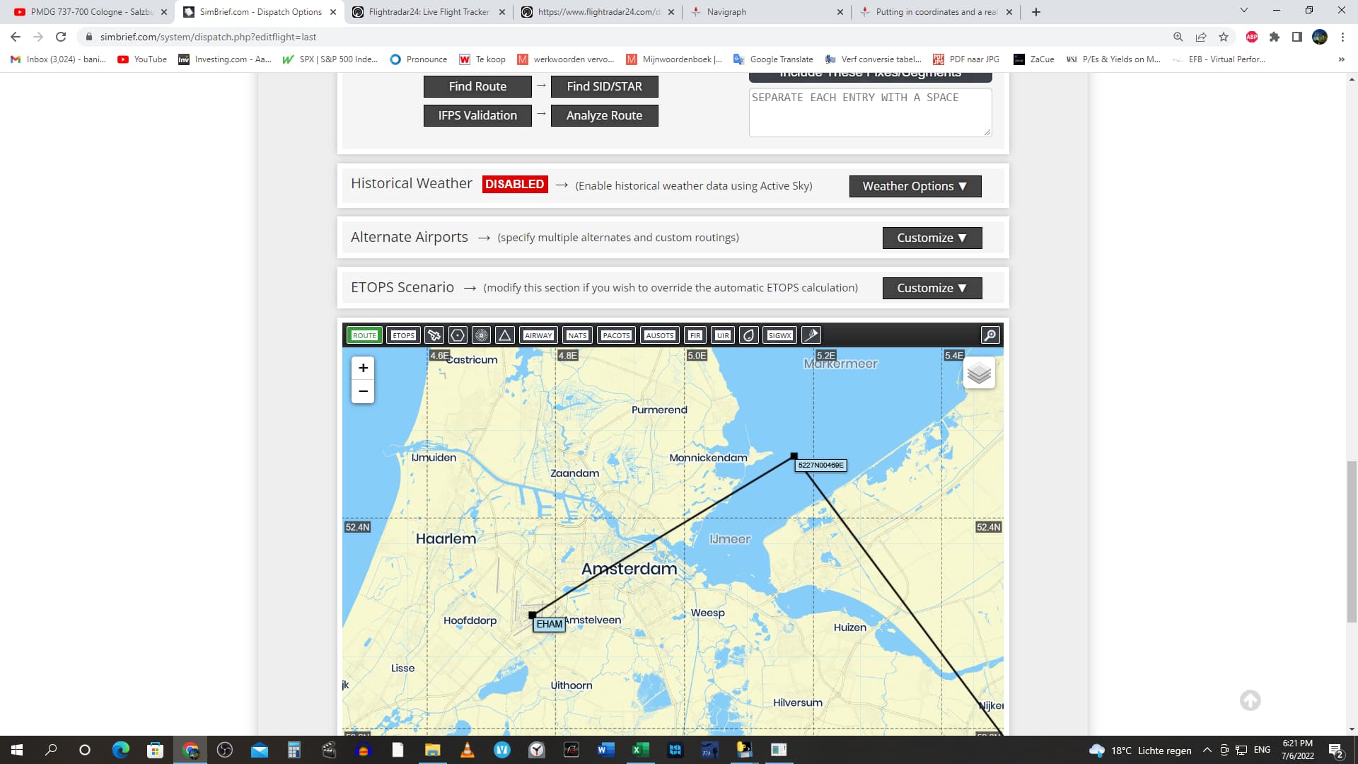
But I can get DD coordinates of the flights flown from fligthradar24. They look like this when downloaded:
46.244293N,10.892395E
When I researched this and put this in, I saw that I am 2 figures short, of this DD format, and therefore, if I am correct, the tracked flight is too inaccurate to use to extract the waypoints. I tried it, but I get very inaccurate waypoints that miss the real flown flightpath by a lot.
Or are site like flightradar24, is the position data of the planes not accurate, I mean the line on the map? Can that be the problem? So that the coordinates are right, but the drawn line on the map of the trajectory the plane flown is off?
Am I correct, that you really would need 2 extra figures in Navigraph in the DD format to get the right accuracy, and that this function is more now for rough oversea flight planning etc? Or am I doing something wrong because the 6 and 7 digit coordinates should give a great accuracy?
And furthermore, is there a way you can load a real flown flight plan into Navigraph? If you have the coordinates? I would be cool if you could overlay the flight plan or so in Navigraph, so you can extract the waypoints the plane flew.
If you have any answers on this that would be much appreciated.
Anyway, thanks for you app, it is very good now and I am enjoying it.
I am just researching the functionalities, trying to get as real to the flown flight plans as I can get.
Greetings all.