Thought I would check in here and see what the state of development is regarding matching the Navigraph data with 3rd party sceneries.
It seems to be almost every time I get an add-on airport, bizarrely enough it’s always the payware ones, hardly ever freeware, the ILS on the Navigraph data does not line up with its runway(s).
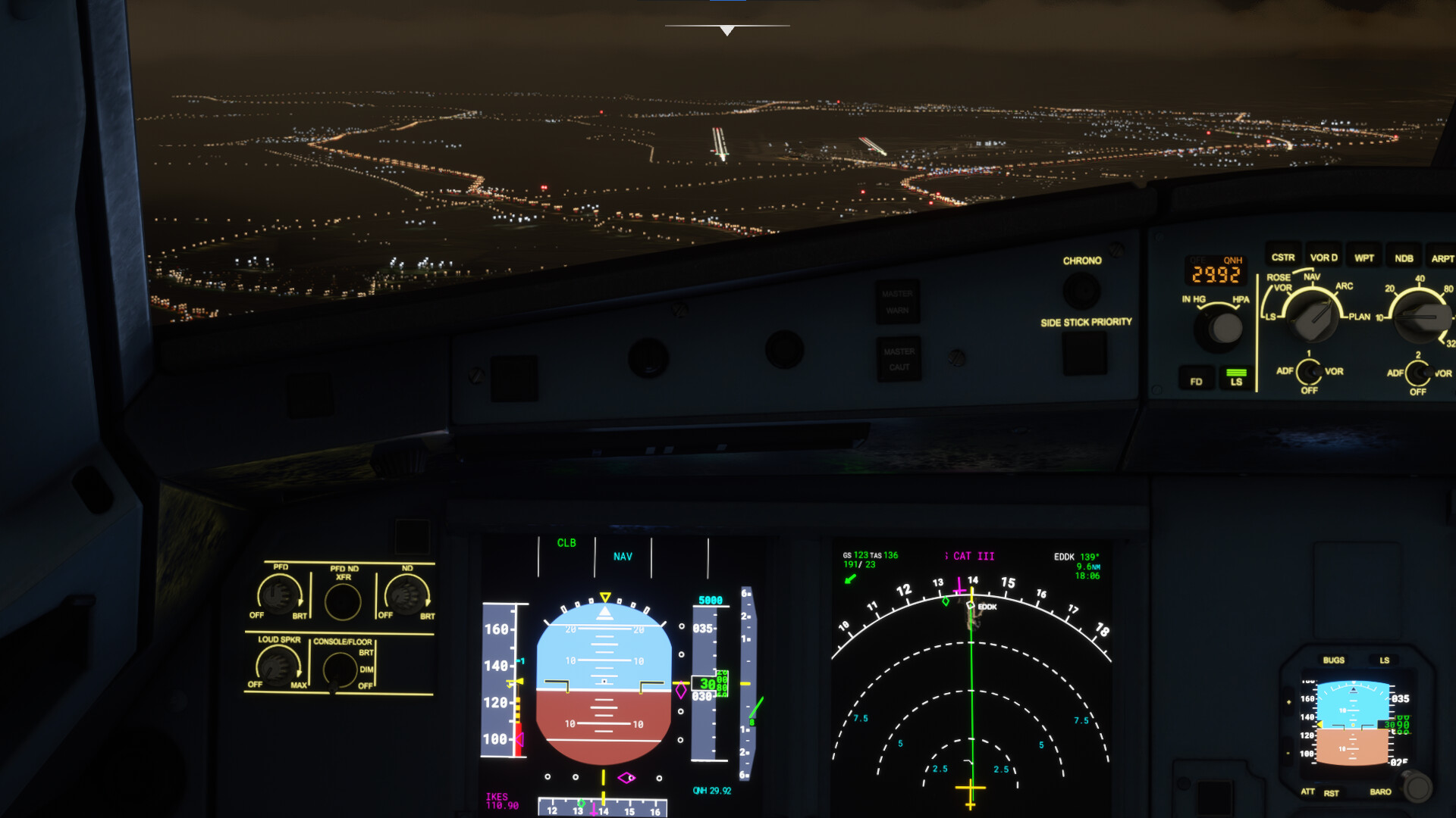
Latest case in point is EDDK by Aerosoft.
I’ve had this happen also with EGNM and KDEN. So in fact, that’s all the payware airports I’ve purchased.
All sceneries seemed to work OK with default data. The airports alone (no extra scenery) do work with the Navigraph data.
I know you are aware of the issue of this occurring, I was just wondering if there is due to be any updates on this matter?
Hi …
I assume you use the latest Navigraph Navdata Client beta 19 and the latest AIRAC 2013 revision 4.
When yes, than all addon sceneries (free and payware) overwrite our data because the priority of our package is always lower then other packages. Therefore, all navaid facilities will be used from the scenery and not any more from us (normally excl terminal procedures).
We know that there are still some strange things with double runways but we are working on a test scenario for ASOBO to reproduce it. Wrong ILS information are not shown since the client beta 16.
Hi Rob,
I don´t have the EDDK addon scenery and also I don´t know anything about the navaid facilities which they use, but I have tried exactly your sample (EDDK 14L) with the default scenery and our data and it looks perfect.
I have also checked the loc-position of the antenna … absolutely center-line. Here the position in bing-maps, which are the source of the default scenery: EDDK localizer position 14L
Sorry, I don´t see any issue here on our side.
Cheers,
Richard
Hmm. Well there’s something that is being affected by the Navdata, as demonstrated in my post.
You might not problem on your end but I could go to the scenery developer who will do the same test and with the default navdata (as in my test) will see no problem. The only thing they will see is that the NG Navdata is the main differentiating factor here. Who will then send me back to you, who doesn’t see a problem… Kind of difficult for me as a consumer!
I don’t really know what to do as I’d like to use this navdata to match up with the charts and my other apps.
Please let me know if you can recommend any further troubleshooting and/or any further information I can provide.
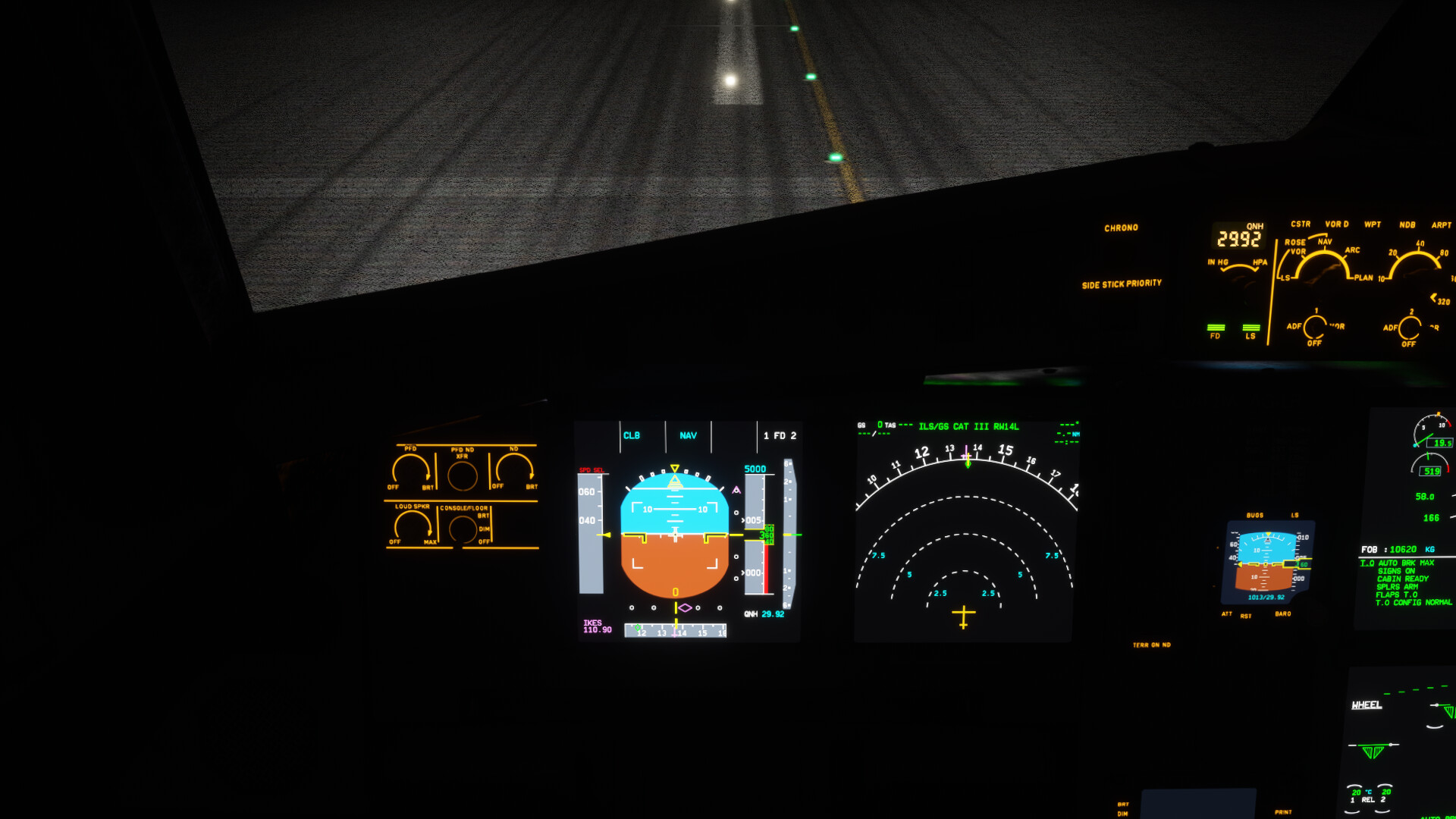
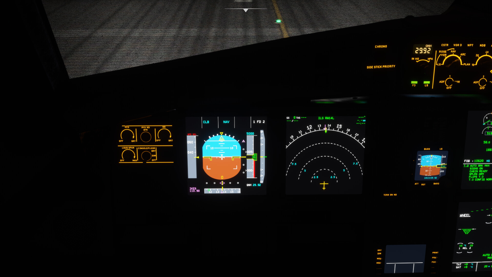
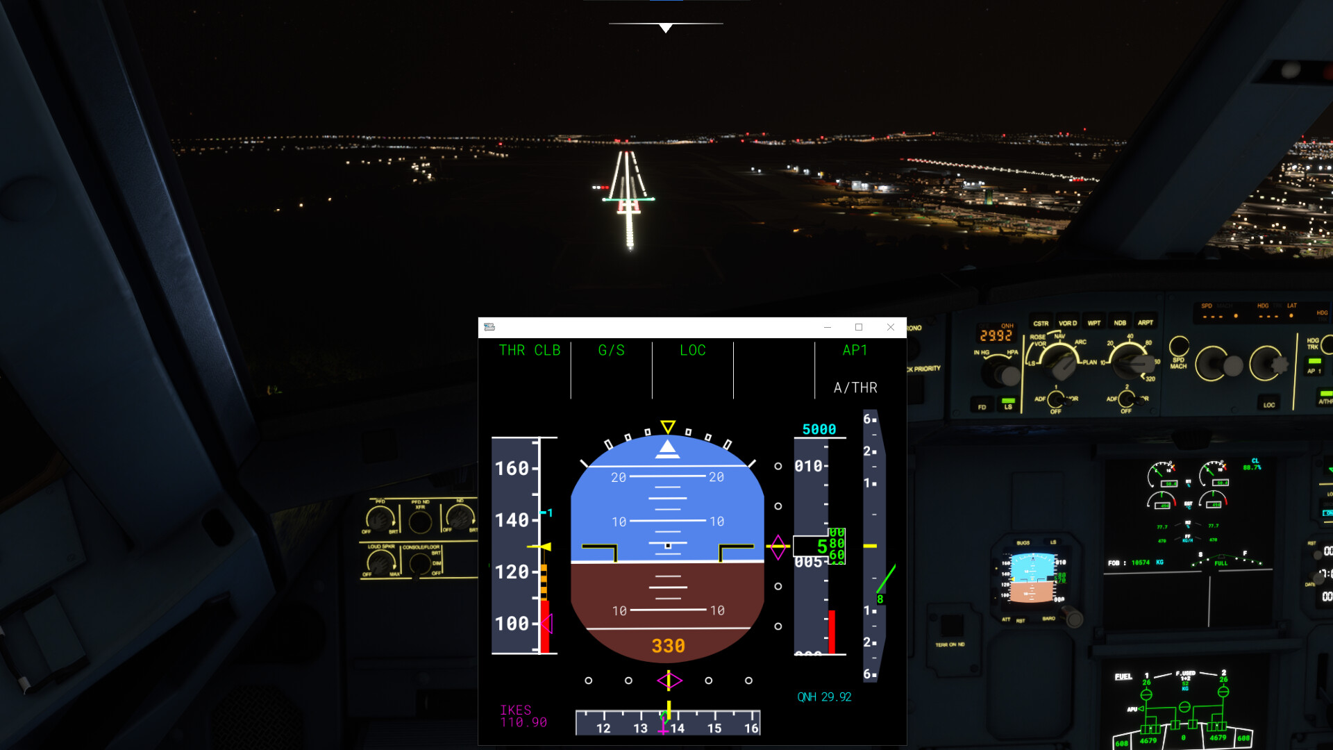
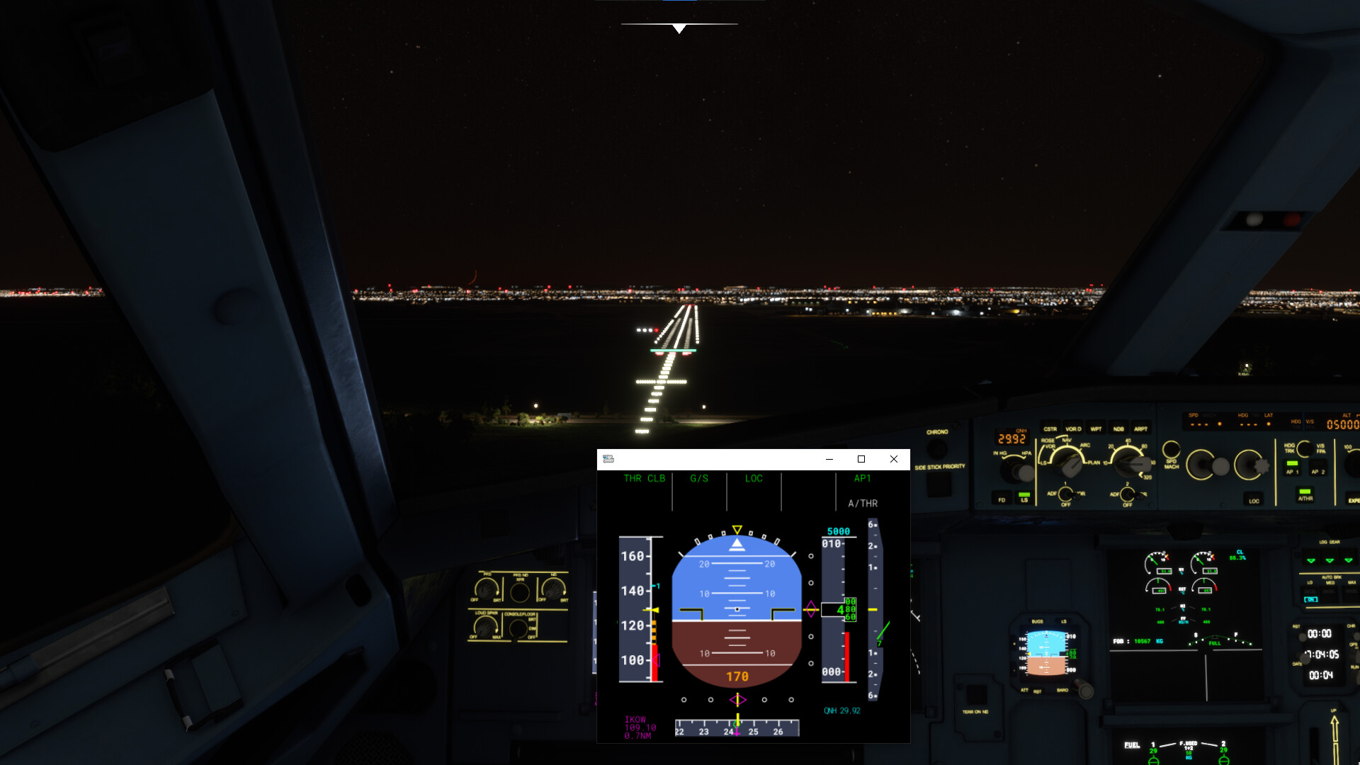
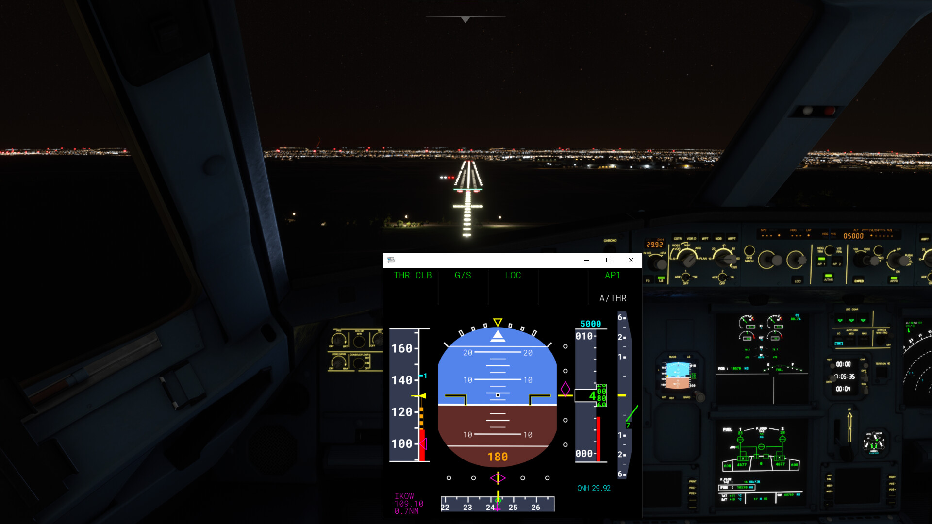
Further, an observation I made was that when spawning in on approach (by selecting a destination airport only), you can visibly see some visual ‘shift’ in the location of the runways/airport with the Navdata installed, as when you spawn in the aircraft should be aligned perfectly with the runways’ extended centreline. With the Navdata installed a turn is required to get onto that extended centreline, without the Navdata there is not.
It’s almost like there is a mismatch between certain areas of code for the sim which I don’t know enough about to comment on comprehensively. And I appreciate you say the Navdata doesn’t mess with any scenery but this is just my humble (and maybe slightly nieve (to the inner workings of the sim) opinion).
Example (with Navdata installed), taken just after spawning in:
Hi Rob,
no problem - thanks for sharing your findings. Good, that this is solved so easily
Take care and let us know, when you need something else from us
Cheers,
Richard