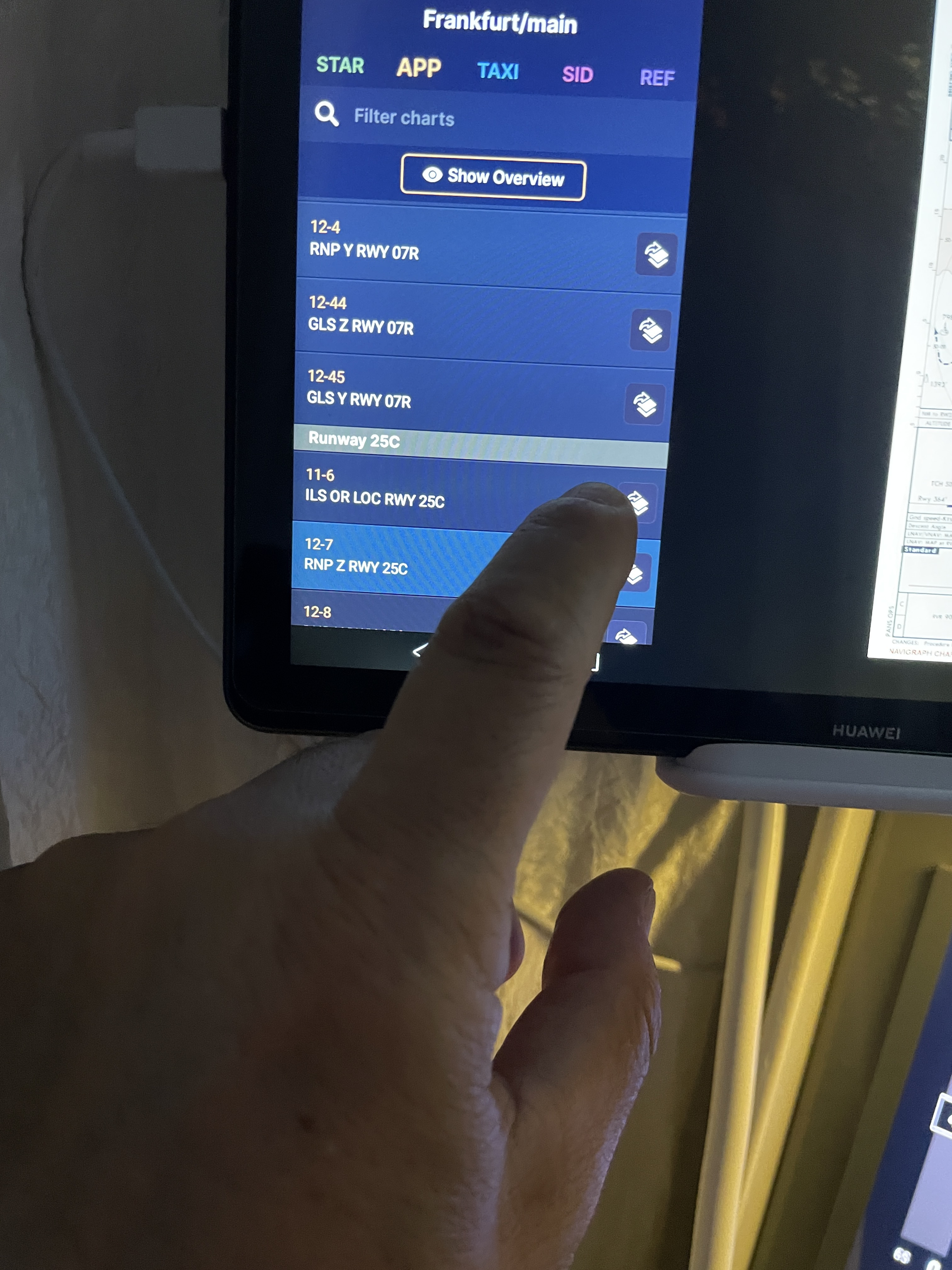
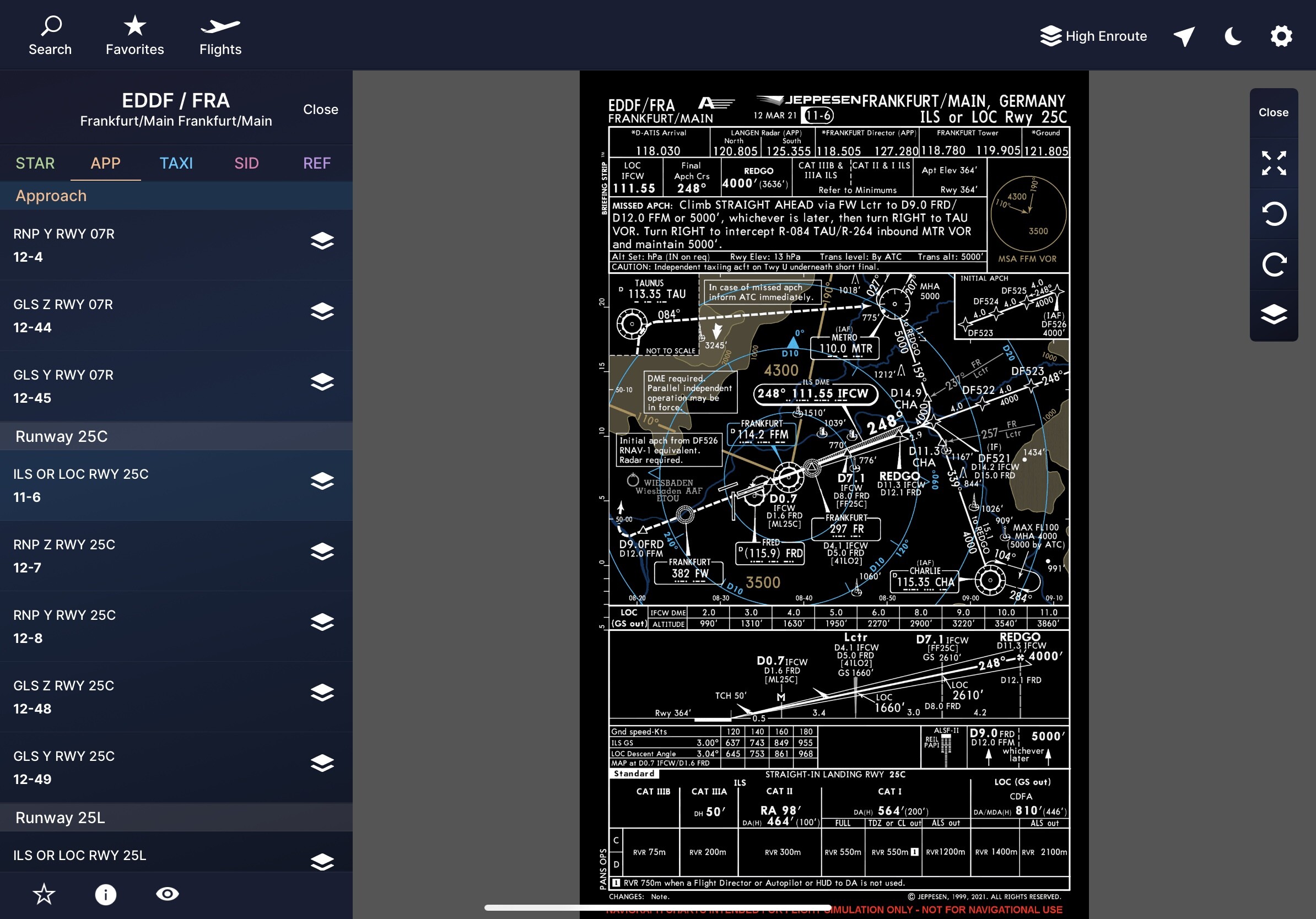
I have problems with nautical charts often in many airports some ils charts are not clickable so you cannot see the frequencies. and then you do not understand why the taxi cards can be selected and seen the plane that runs through the taxis but if I then select the fairy cards it is not possible to see the plane that moves … not good so all the cards should be selectable and see the plane that runs through them …
as you can see in this image I see the map of the taxi with my plane but I don’t see the gates, so I don’t know where to go in case I have to assign a stand
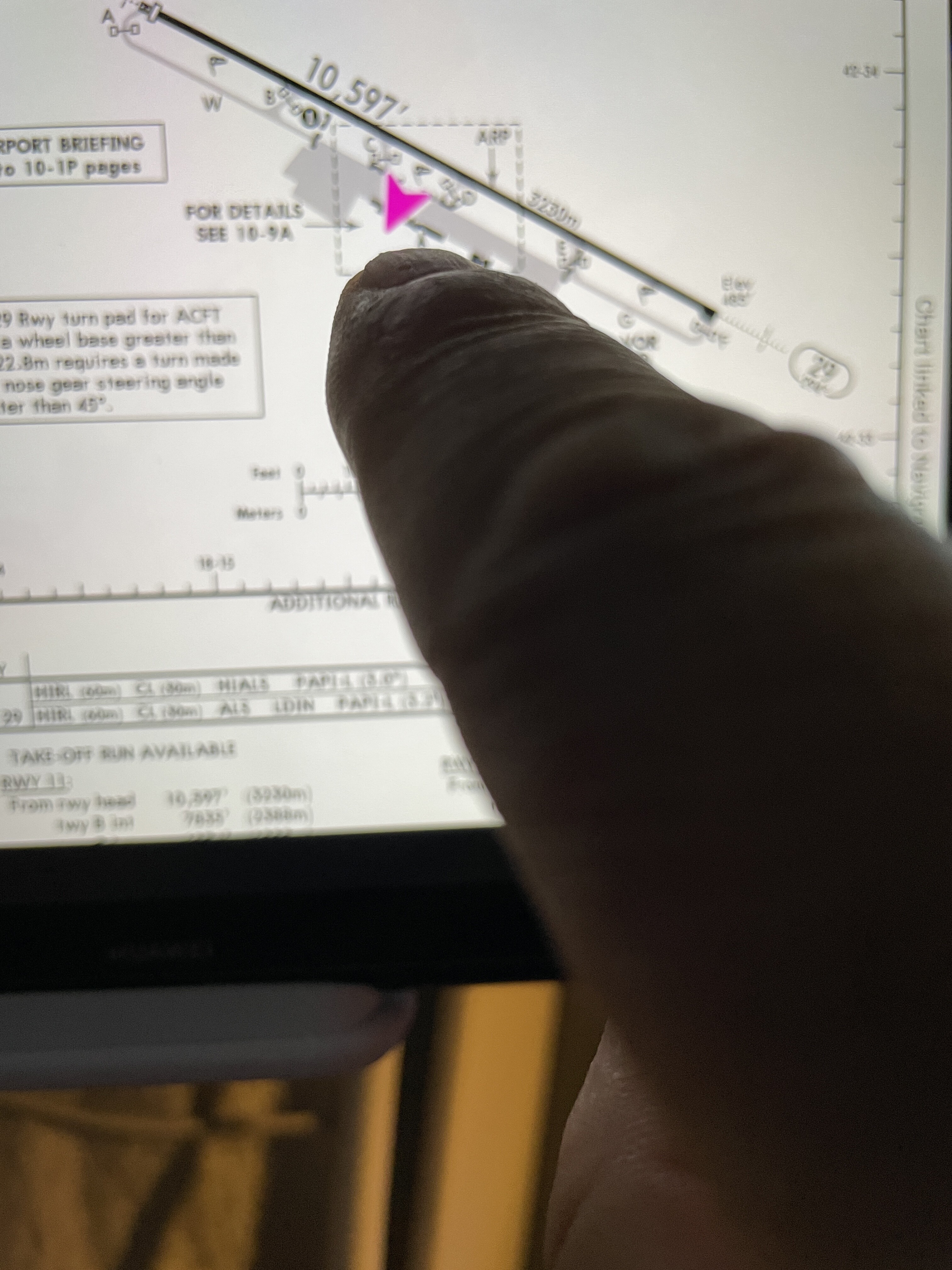
in this map i see taxis and i see gates … but i don’t see my plane on the map
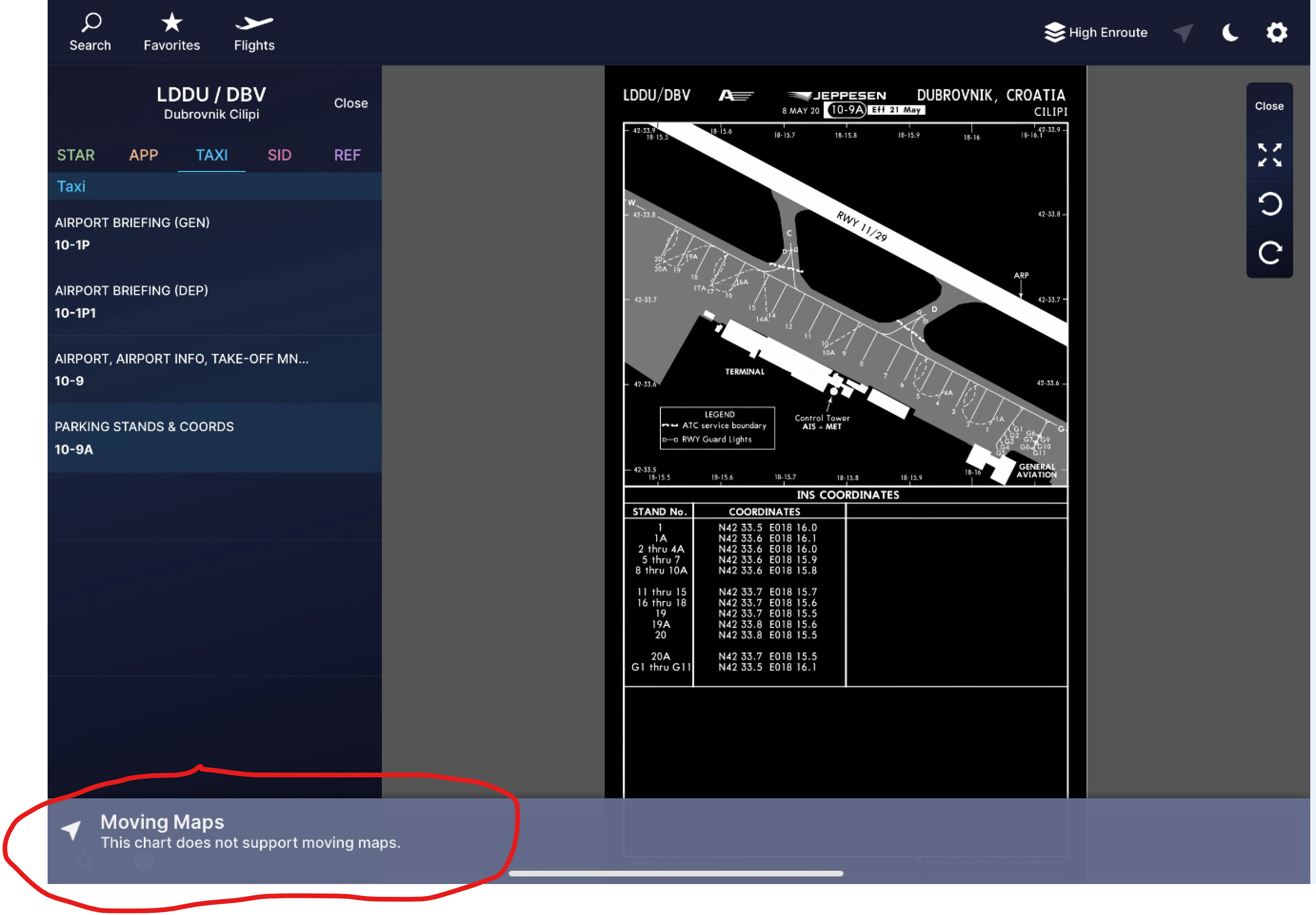
Moving Map requires Geo-Referenced maps. Unfortunately not all our Charts are Geo-Referenced, so cant provide Moving Map. This is noted at bottom of chart:
Not sure what you mean by “the competition can do it”, please be specific.
We can provide moving maps on all charts that are georeferenced by Jeppesen. This always includes the airport diagram (10-9), but generally not parking stands charts as these are distorted and not drawn to scale.
It looks like you are using the Charts app for Android. I cannot reproduce your issue either. Please quit/restart the app, or restart your device, just to make sure.