Just noticed while doing this flight that so many country names are missing in the desktop, tablet and mobile versions of Navigraphs apps.. and those the few that you can see then vanish and others reappear when you change zoom levels. Like 70% of the worlds country names are missing. England, Scotland, Wales, Portugal, Spain, Germany, Estonia, Belarus, Sweden, Norway etc etc never show up for me ever. Africa on the other hand shows every country at all zoom levels.
The names are not missing. The map is dynamic, and is hiding the names of countries in favor of other map elements. I can see how this is confusing, especially since it does not look like there are too many other labels visible on the map in your case!
There are two ways to make the labels appear:
Zoom in
This will cause the map to re-prioritize labels. If it does not find any collisions between the country names and other, more important elements, it will show the country names!
Change map layer settings
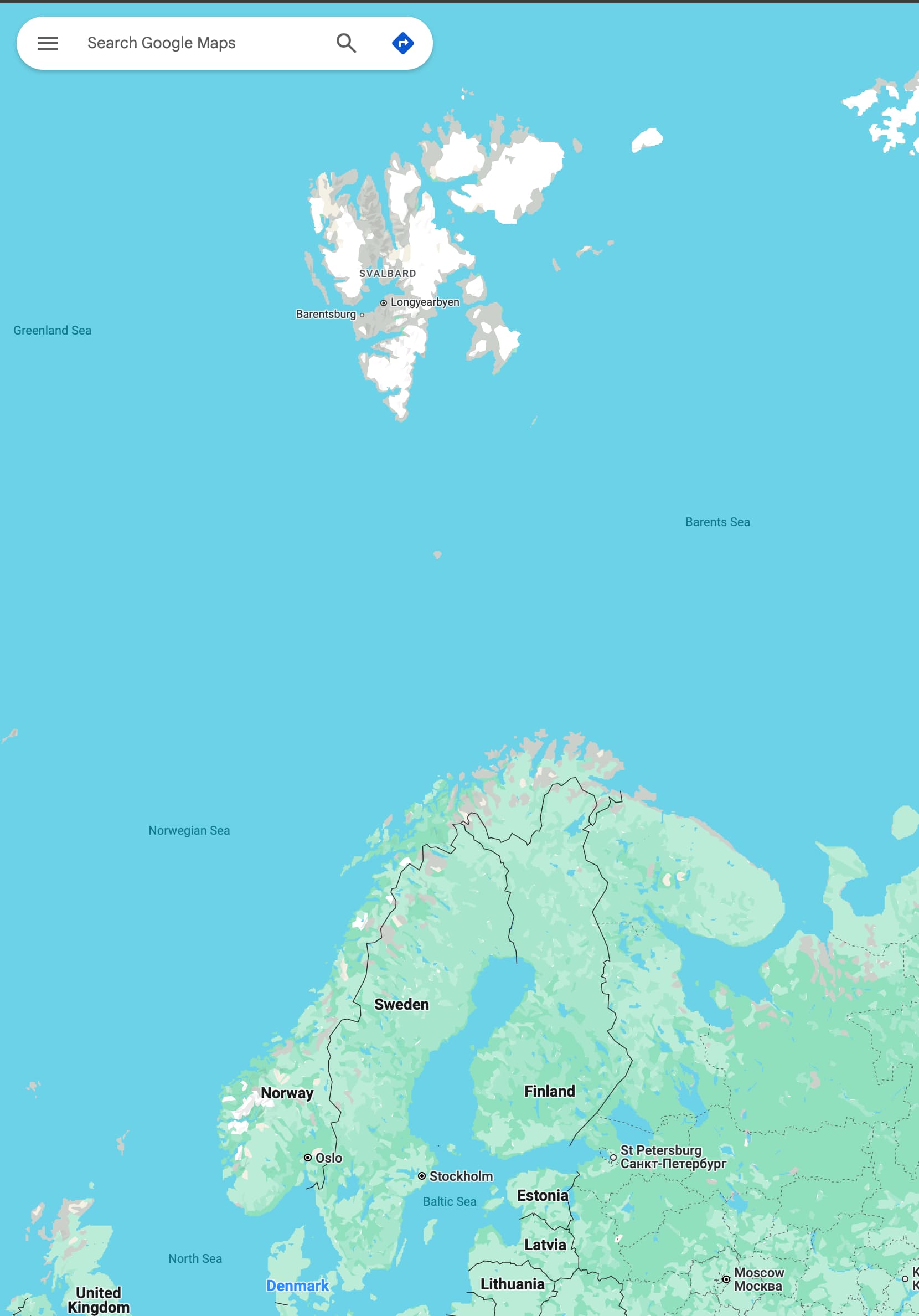
By turning off layer categories, you can “clean up” the map so that the country labels are the only relevant labels to show. Here is a demonstration:
I hope this helps clarify the situation! Let me know if you have further questions.
Found it.. Navigraph has named the practically uninhabited group of Islands to the way north of Norway, as Norway, instead of the big land mass that runs down the north and entire left side of Sweden which is the real Norway. That group of islands up top: ‘Svalbard’ previously known as Spitsbergen or Spitzbergen, is just a Norwegian archipelago (population 2,500) and not the main country which has a population of 5.23 million.