We shall use your suggestion for potential enhancements and new functionality. So, please be as detailed as you can.
For SimBrief feature requests, please see Feature Requests - Navigraph
(This also applies to Simbrief, but is primarily Charts)
Only one issue per thread so that others can easily see what has been reported.
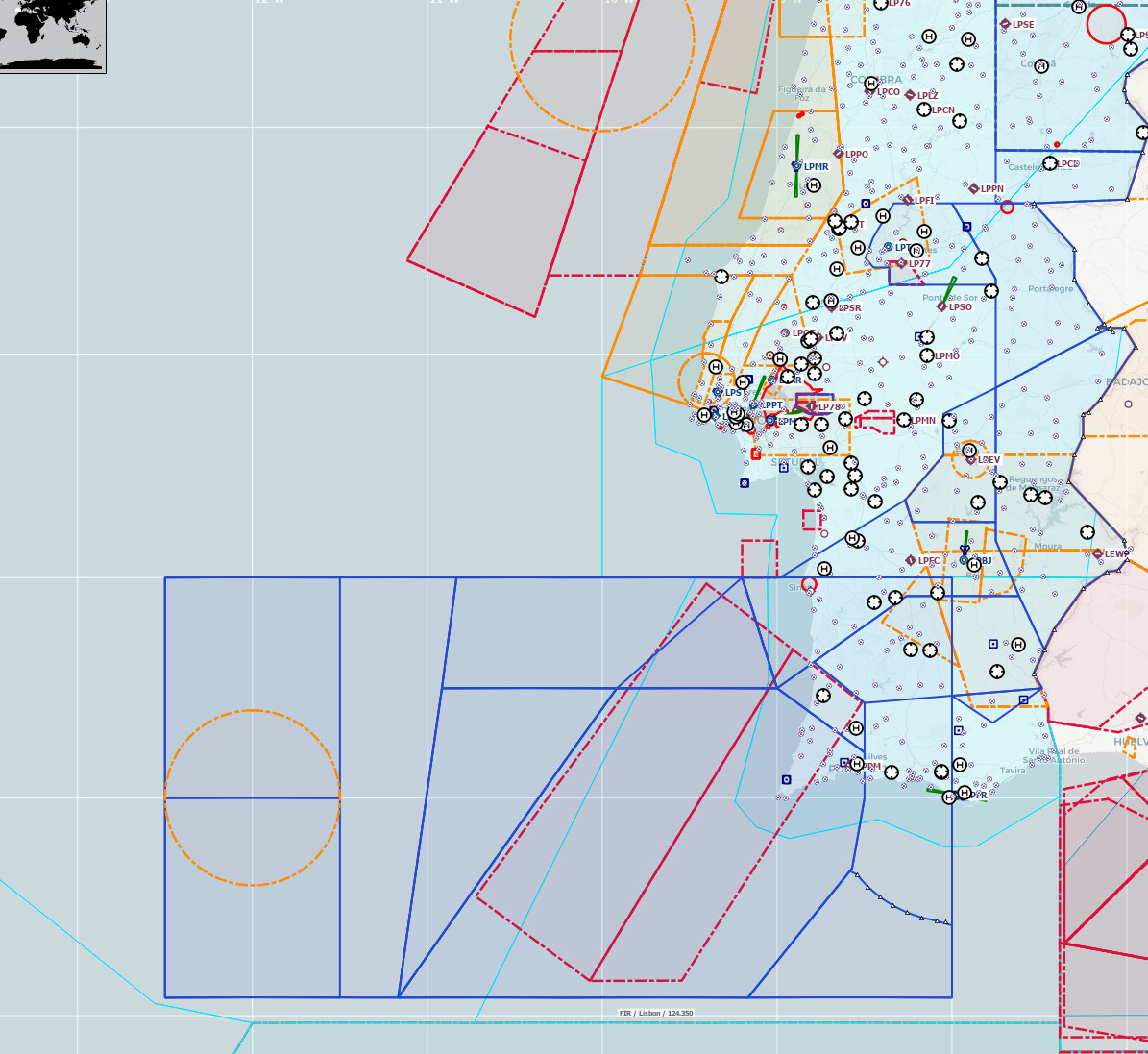
Please implement a map layer to allow visual representations of airspace closures / TFRs / restricted airspace activation on Charts from NOTAMs. This would allow users to visually see what airspace to watch out for (especially if it’s not marked)
As a benchmark: Foreflight does have NOTAM layer capability on their maps: